


MERC
Marine
Ireland has a long and varied coast for a country of its size, with almost 60% of our total population residing in coastal areas. The coastal zone is...MERC
Environmental & Ecological
MERC
Renewables
Ireland is ideally placed to harness wind and wave energy, a source of the worlds greatest under utilised renewable energy. Renewable energy constitutes...MERC Environmental & Ecological
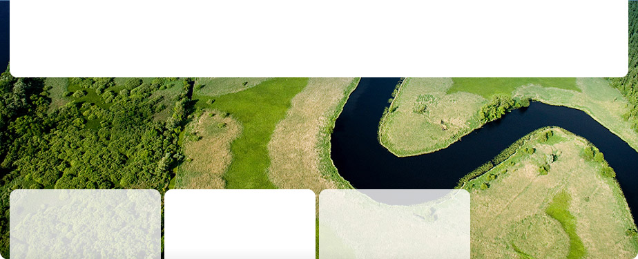
MERC have been providing terrestrial surveys since their formation in 2004. Terrestrial surveys are generally conducted as a requirement under the EU Habitats and Birds Directive in furtherance to policy needs or as a prerequisite to developments (Appropriate Assessment).
MERC conduct terrestrial habitat and species surveys using state of the art Geographical Information Systems (GIS) technology and software, which allows the production of detailed habitat maps. Mapping is conducted in accordance with best practice guidance for habitat survey and mapping published by the Heritage Council of Ireland 2011 and other best practice guidelines as appropriate.
Environmental & Ecological Clients